Arkaroola to Whyalla
29 May – 1 June
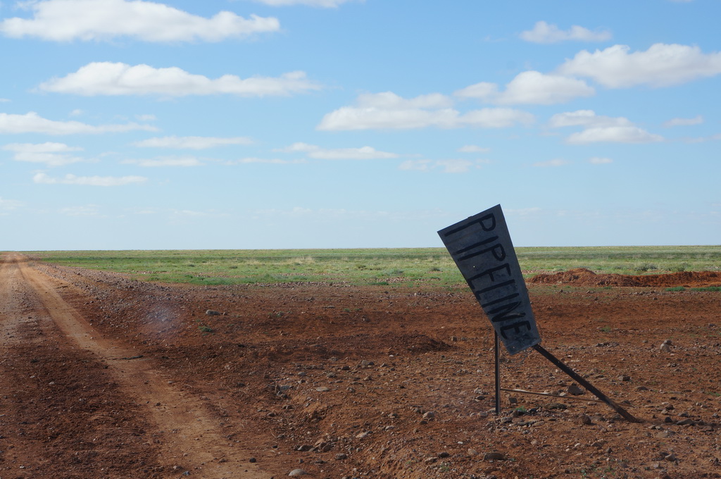
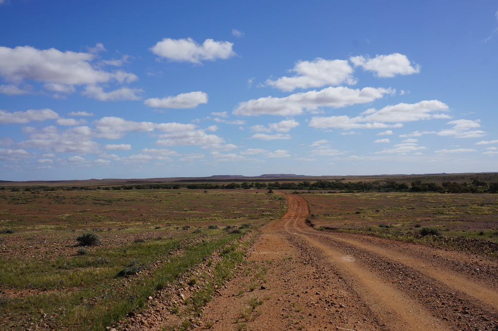
As a general rule, we prefer to not go back the way we came, backtracking doesn’t seem to sit well with us under normal circumstances, so, with the rain the area had had over the preceding week we had been watching the daily road closures to work out what our options were. There are two roads into Arkaroola, the one we came on from Copley, and the road going north, up to the Strzelecki track, which joins it approximately half way along. This was closed, but re-opened as 4WD only with cautions around ruts, soft sections, and washouts the day before we left. This being the case, and having a 4WD, we decided to gap it up to Monticalina Bore on the Strzelecki track. The road was quite changeable, with good sections of hard track, sections of deep soft red clay, stony river beds and long sections of soft sand. We did however get through and arrive at the bore about an hour before sunset.



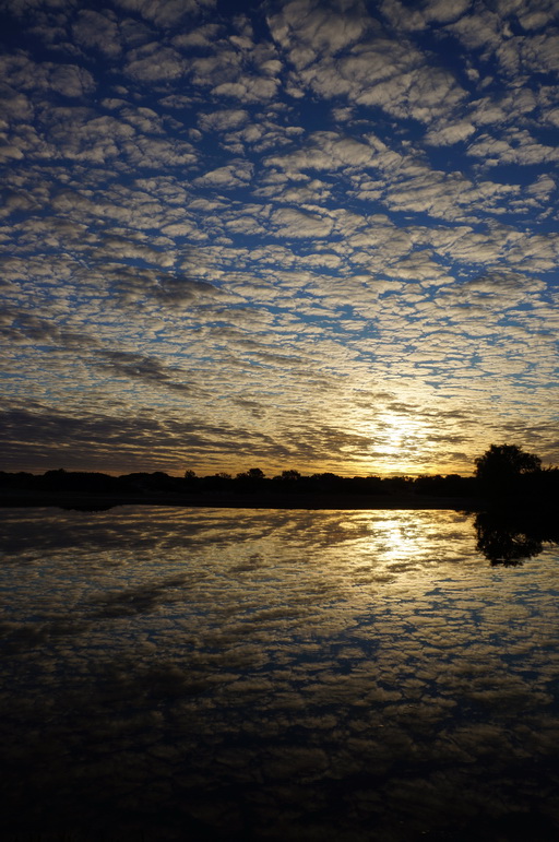
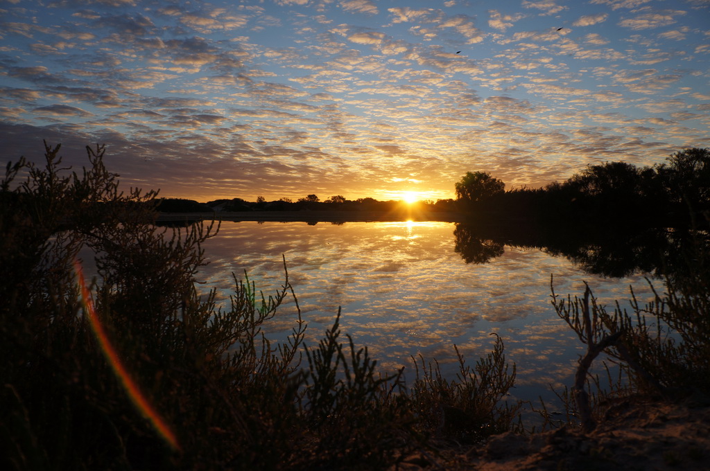


Sunset at the bore was gorgeous. There was no wind, so the pond was dead flat and reflecting the small fluffy clouds in the sky, and the colours from the sun became more and more vibrant. There must have been plenty of little bugs in the air as a large flock of small swallows started darting across the pond eating them up.
The clouds cleared up and we had a beautifully clear night sky to gaze up at while sitting next to our fire pit.
The Strzelecki track runs from Lyndhurst up to Innamincka, and is a main trucking route for goods going from Adelaide up into Queensland, as such there was quite a few road trains on the road intermingled with the work vehicles of the employees of the Moomba Oil and Gas field north of where we stayed the night. The track was the route taken by this guy about 100 years ago who stole 1000 head of cattle from his employer and drove them through the Strzelecki Desert and sold them. When he was eventually caught, the jury for his trial were so impressed by the feat that the let him off! In the following years it became a cattle droving route to the rail at Lyndhurst to get the cattle to market.
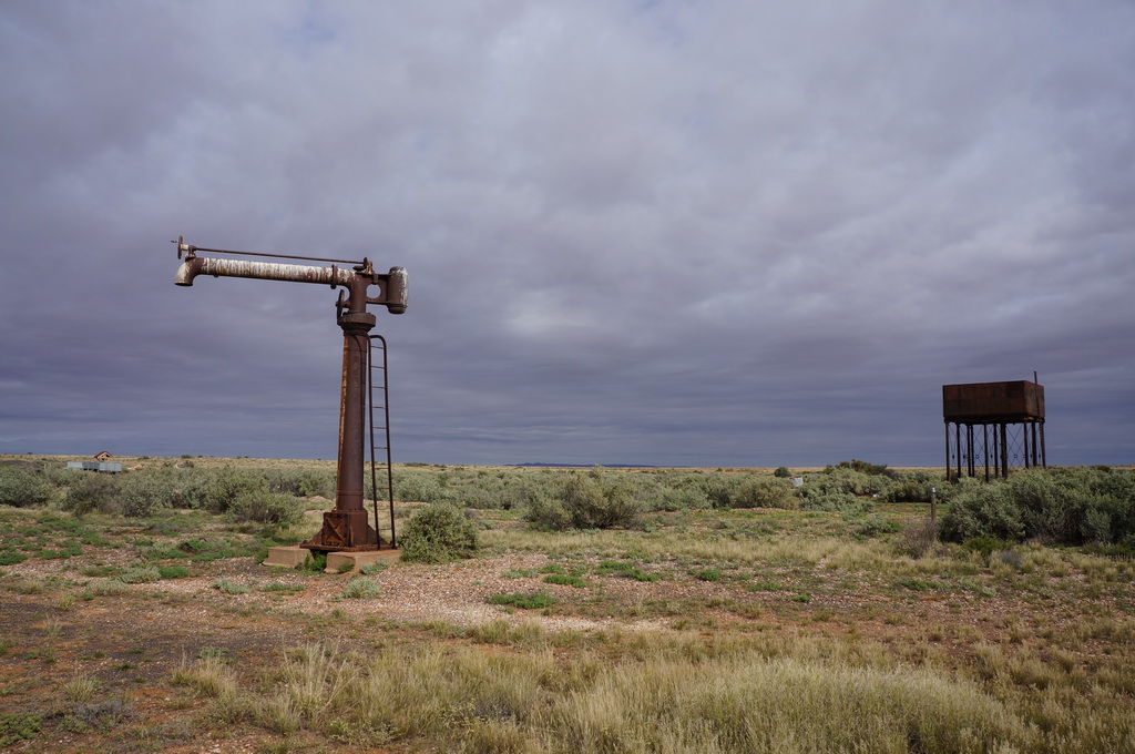
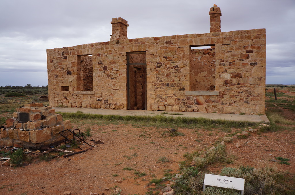
There wasn’t a heck of a lot to see on the track, so we made good time, and ended up going back down to Leigh Creek to pick up more supplies from the supermarket before heading back north to finish the day in Farina. Farina is a little town which was the head of the rail line in the 1890s. It grew into a bustling little town of 300 before a slow decline as fewer and fewer stock were taken south by rail. The last residents left in the 1960s and the town was abandoned. These days it is under the Farina Restoration Society who spends 8 weeks a year on site putting up info boards, preserving the ruins of the stone buildings which remain and running the original bakery on site to raise a bit of money.
We had stopped in here on our last trip through this area, but only visited the railway sidings, not realising there was more to see a bit further off the road. This time we checked into the small camp ground for the night and waited for the Bakery to open the next morning to get some yummy baked goods.
The oven on site is a Scotch type oven with a firebox on one side with the hot gasses moving through from the back of the oven to the flue on the other side. The temperature was controlled by opening and closing the flue. The whole oven was built underground, taking advantage of its sand insulation to keep the oven warm. Nifty (the awesome gentleman) who showed us the oven just loved the thing.
That morning we picked up a couple of apple scrolls and custard tarts for breakfast and then proceeded to walk the streets of the town and rail siding. It was quite extensive, with the remains of two hotels, two general stores, a post office, police station, jail, blacksmith’s shop, cricket ground, rail loading ramps, and a large cast iron water tank. Everything was very well explained and easy to follow. After a good 7km of walking we returned to the bakery for some more nourishment in the form of a pie and sausage roll, followed by a take away cream bun for dessert that night.
The afternoon was pretty chilled with some car maintenance (our water pump stopped working) and a walk up to the old cemetery and new ANZAC war memorial on the hill above the camp ground.





With all of the rain which had been in the area for the preceding weeks the desert tracks were being closed and re-opened regularly, so we were watching the weather and road conditions like a hawk. The plan we had in mind was to head up the Oodnadatta track to Oodnadatta then continue north to Dalhousie springs, then go across to the Stuart Highway and come south again. Unfortunately the following day was forecast for 15mm of rain around Oodnadatta, which would definitely close all of the roads in that area and trap us in the desert for a number of days. The desert was really raining on our parade at this point, so we made the decision to turn around and head south down the Eyre Peninsular instead, leaving the Oodnadatta track and Dalhousie springs till later in the year when we could do them from the north instead. Next stop Whyalla.

M