Ceduna – Norseman
21 – 26 June
And so, after our little (~600km) detour up Goog’s Track it was time to cross the infamous Nullarbor. After attending to some chores in Ceduna (shopping, fuel, three loads worth of washing…) it was time to strike west.
After a late start adjusting the handbrake (it had given up working the day before) we headed west from Ceduna. First port of call was Fowlers Bay. In Ceduna there was a noticeboard in the middle of a traffic island with the numbers of whales sighted at Fowlers Bay and then at the Head of the Bight – effectively ‘if you drive this far you have a chance of seeing 3 whales, but if you drive THIS far you get 43!’ The difference in distance is approx. 140kms, which we have come to appreciate as ‘just down the road’ in this country. No luck whale spotting at Fowlers Bay, but we found another private beach to enjoy for the night tucked over the sand dunes in the Conservation Park. Here was a white sand beach, complete with a couple of resident pelicans, that wasn’t strewn with seaweed tossed up by a winter storm.




The next morning, to Marcel’s horror, he woke up next to Rocky Balboa – when defences were down after having a shower for the first time in quite a few days, the mozzies at Ceduna had launched a stealth attack. Estelle’s immune system gets overly excited by mosquito bites, and a bite on her eyelid (yes that’s right) had swelled up overnight and meant that her left eye didn’t really open. Ahhh the true reality of living on the road.
Not letting minor things such as lack of vision get in the way, the push west continued with Marcel driving. After the obligatory photo with the Camel, Roo & Emu road sign just out of Yalata we were at the Head of the Bight for a bite (ha) of lunch and some whale watching.
The Southern Right Wales come into the Bight over the winter months to mate and calf. They get their name because they were the ‘right’ whales to hunt as they often hang out close to the shore, they floated when they were dead and produced lots of oil. Nowadays the whales can be seen right off shore from the boardwalks above the cliffs at the Head of the Bight. We saw around 6 odd pair of mother whales and their calves in the waters around the cliffs. It was really neat watching these large mammals relaxed in their natural habitat.
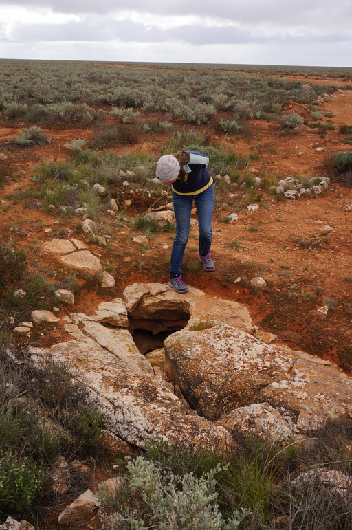
The Nullarbor is underlain by a large single piece of limestone (the largest in the world) and is one of the flattest plains of exposed bedrock on earth. As its Latin name suggests it is mostly devoid of trees with its flat horizontal surface abruptly ending at the Bunda Cliffs comprising a 200km long precipice curving around the Great Australian Bight. Underground there is a network of limestone caverns and sinkholes which is the largest arid zone karst landscape on earth.
From the Head of the Bight it was on down the road to the Nullarbor Roadhouse and to the Murrawinjie Caves located approx. 9km behind the roadhouse. When we arrived at the caves there was a lady with a push bike packing up ready to head back down the muddy access road and continue east. She was cycling from Perth to Melbourne and had made a detour(!) north to Geraldton before heading towards the Nullarbor. Seeing her bike with a third load carrying wheel trailing behind with basic water containers and small bags for food and sleeping gear it really emphasised how comfortable our setup is. And it is reassuring that there are people with crazier ideas than us out there!
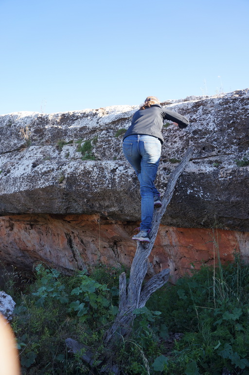
There are three caves at Murrawinjie and they are accessible for you to scramble down and have a look around. Inside you can see shells embedded in the Limestone and in one of the caves there are Aboriginal paintings of stencilled hand outlines. It was really neat to be able to climb down into the earth and get a sense of the subterranean world of the Nullarbor.
The day dawned clear, and the flat horizons of the Nullarbor meant we were treated to beautiful colours of both sunset and sunrise. Today we decided to go on a small detour to Cook a ‘ghost’ town on the Trans Australian Railway 105 kms north of us on a dirt road. You know you’ve adjusted to Australian distances when this really doesn’t feel like it is too far out of your way!
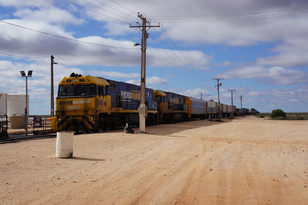
Cook used to be a key service town to the railway and at its peak had 300 inhabitants. Nowadays it is a stop off for the Sydney to Perth passenger trains that roll through twice a week as well as a refuelling and driver changing point for the majority of the freight trains that run along the line. As we were finishing off our lunch a friendly guy who was stationed in Cook (one of 4 based there) came over for a chat. It was interesting to have a glimpse of what modern life is like there before we headed off to look around the abandoned school building.






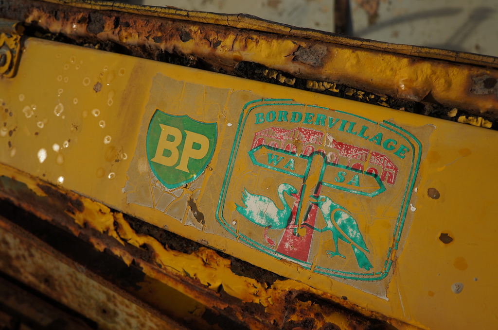

The road to and from Cook was signposted to deter the average traveller and whilst stating that it was no longer maintained we found it to be a smooth but muddy drive. Turned out the grader had been along it a couple of weeks before us, but all the recent rain meant that there were frequent puddles all the way across the road which only means one thing – lots of muddy splashes. By the end of the day it was hard to distinguish any green under the solid casing of red mud that covered the car.
We took the turn-off along the Old Eyre Highway (it was realigned and finally bitumised in 1976) to Koonalda Homestead. Today the section we travelled was a simple two wheel drive track along what used to be a much wider road. We think of the crossing as arduous today – you can only imagine when it was a dirt road the whole way. One anecdote that struck us was that the automobile association of SA set up a special vehicle recovery plan when the Commonwealth Games were held in Perth in 1962 and traffic increased to around 30 vehicles a day, and some 10% of the vehicles travelling across the Nullabor needed their assistance!
Koonalda Homestead was quite odd to walk around – being built post WWII from railway sleepers from Kingoonya (limited other wood available) it felt familiar having similar features to older country houses that we were used to in NZ. That night in preparation for our imminent crossing into WA we cooked up a ‘quarantine’ curry with most of our vegies, baked the remaining potatoes and onions, stewed up the apples and juiced the lemons. Whilst you aren’t allowed to take fresh fruit and veg over the border cooked food is alright.
We hit the black top the next morning and stopped off to view the magnificent Bunda Cliffs. Wow, what a truly awesome sight. The shear 80m high cliffs drop off into the Great Australian Bight with Southern Ocean swells pounding into the bottom. The booming noise of the crashing water over boulders that looked to be the size of cars left you in no doubt to the energy of nature. One of the most striking aspects was just how shear the cliffs were and then seeing above then a perfectly flat plain as the Nullarbor extended inland from the coast. It was at both beautiful and mildly terrifying at the same time.
And there it was – the WA border. Despite the signpost at the border saying that Melbourne was only 1994kms away, we’d somehow managed to turn that into 7704kms and 7 weeks on the road … We crossed the border with minimal fuss after handing over half a pot of NZ honey that we hadn’t been able to finish (let’s just say it was still a full pot of honey 2 days beforehand).


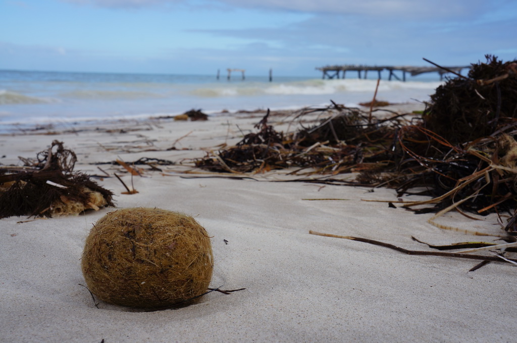


On the WA side of the border is Eucla, where down below the modern settlement is the remains of the old Telegraph Station Master’s House which is now half buried under sand dunes. For the night we headed into Weebubbie Cave 15kms along a dirt road from Eucla. What an impressive hole – we estimated a 50m diameter hole extending down some 40+m before the cave proper disappeared into darkness. Another 150m down there is a large cavern and lake which is apparently so clear that often first time visitors would walk right into the water. Up until the mid-90s tourists used to be able to go down and boat on the lake but rock falls around the entrance now meant that the cave was closed to the general public. It was another great example of the uniqueness of the limestone karst landscape of the Nullarbor. For those interested in what the cave looks like we found an interesting Catalyst episode that featured Weebubbie Cave.
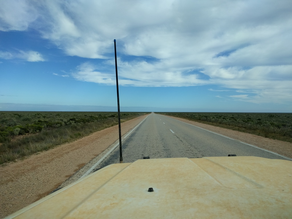
It had been a pretty relaxed journey across the Nullarbor so far, but it was now time to get some kilometres on the dial – 586kms from Weebubbie Cave to Newman Rocks located ~50kms past Ballidonia Roadhouse. Along the way we had a couple of stop offs at another cave entrance and Caiguna Blowhole were an underground cave systems ‘breaths’ and you can feel the cool airflow as the system works to equalise with ambient pressure. Along the way we drove along the world’s longest straight section of bitumen road – 146.6kms. To help pass the time as we drove we had some BBC podcasts to listen to as well as Triple J Hottest 100 playlists from our first few years in Australia. They certainly took us back. We actually found the drive fairly easy even if it was long – the road was good and other motorists were relaxed and just cruising along. This was finger wave country (the forefinger, not the middle finger).
Another long day of driving – ~140kms into Norseman and then another 300kms north. In 2 days we’d covered 1028kms – roughly equivalent to driving from Bluff to Picton, but still only a tiny portion of Australia. But we knew that we had long driving distances ahead when we signed up for this trip around Australia.
Well there we have it, we made it across the Nullarbor. A lot of people tend to just put the foot down and motor on through, but we were really pleased that we took our time and had some really interesting detours and stops along the way. Now time to explore the expanse that is Western Australia.
E