NT Border to Kakadu National Park
15 – 19 September 2016
The crossing the border of Western Australia into the Northern Territory was interesting. On one side of the road, a big shed which everyone heading west must stop and declare just about everything they are carrying, and for the people east; nothing but a sign saying welcome to the Northern Territory. Oh, and a sign in front of the sign with a camera on it, apparently this was a photo opportunity; OK then. There isn’t a heck of a lot between the border and Katherine, just 300 or so km of blacktop winding its way through planes with the occasional dry river bed and dotted with mid height trees. The occasional bush fire smouldered on the side of the road with black kites circling over the remaining smoke picking off insects as they try to escape. The heat from the fires also spark small tornadoes known as dust devils, sometimes up to 20m across and maybe 50m high, they whip up the ash and soot from the ground periodically and create an amazing black swirling column, but apparently only when I don’t have a camera pointed at it 🙁
Interesting side note; the Black Kite is sometimes known as the fire bird as they pick up hot embers from bush fires and drop them elsewhere to spark off new blazes, just to get at the fleeing insects. Perhaps that is what we saw on the side of the road.
We stopped in at part of the Gregory National Park to see the Gregory’s tree on the banks of the croc infested Victoria river. This is where the explorer A. C. Gregory set up an entrenchment camp from October 1855 to July 1856 while exploring the area.
The tree has the dates of their landing and departure carved in the side of it in their best serif font. It is quite common for explorers to carve their name into Boab trees, but to see a date from so long ago in such perfect text was quite incredible.
We passed through Katherine only briefly then headed up to Edith Falls, one of our favourite swimming spots from our trip through central Australia five years ago. The plunge pool at the bottom of the falls is about 120m across and is very deep, limiting the number of people in there, and making it a bit of an effort to get over to the falls for a falling water back massage. Amazing. After a couple of Pimm’s Cups (happened to have all the ingredients) we decided it was worth going back for another swim and massage. There is also another more picturesque pool at the upper falls which was the order of the next morning before hitting the road to Kakadu.


In keeping with wanting to do new things on this trip and not just see the same stuff we had seen already, we headed to different parts of the park this time. First up is an area called Gunlom. Gunlom’s claim to fame is a huge waterfall falling off the 90m sheer Sandstone escarpment, the top of which has a natural infinity pool overlooking the plains. Multiple pools in the lead up to the falls allowed the numerous people to spread out, allowing each person to enjoy the clear water surrounded by black and gold rocks, and usually a little waterfall to themselves.
Across the other side of the escarpment is an area called Maguk with its own waterfall and plunge pool located up a little gorge. The top of this falls however is a little more difficult to get to, but is a lot more intricate in the way the water has shaped the rock, gouging it out to leave smooth walls, deep pools, high cliffs and small cascading waterfalls. A really special place. As we arrived it started raining quite hard which cleared a lot of the people out, so we almost had the place to ourselves. Up the creek a little bit, under a natural bridge the gorge opens out into a small stony valley where we came across a stone dam in bad repair built by another visitor. I used to love building stone dams as a kid on my grandfather’s farm, so set about repairing and heightening this dam. Estelle even got into it, and by the end we had managed to raise the water level in the pool an inch or so.
Kakadu is a huge park, 19,804 Square km in all, and the largest national park in Australia. It is owned by five native Aboriginal clans in the area and is leased off them by the government to maintain it as a national park. Another area which we hadn’t visited before was Nourlangie. This is one of the areas of the park which has had significant Aboriginal use for the past 20,000 years in the many natural shelters along the escarpment there. As with many sites in this part of the world, rock art is scattered across the walls telling stories of hunts, dreamtime (creation), important lessons, or just images of the wildlife which would have surrounded them at the time.
That evening, on the way to our camp site on the banks of a croc infested billabong, in the pouring rain, as our windows fogged up from all the moisture we had brought into the car on our clothes, our AC broke (the clutch on the front of the compressor if you’re interested). Damn it. Just thought this was an important thing to note.


The next morning was slow. It rained well into the morning, so we stayed in bed for a while until Estelle got up and made me breakfast in bed using the bread we’d baked in the camp oven a couple of nights before, and a good dose of coffee.
Arnhem Land is on the border of Kakadu to the east and stretches out to the coast along the Gulf of Carpentaria. This is also Aboriginal Land and requires a permit to enter. I quite liked the main entry point though. Called Cahill’s crossing, picture a fast flowing brown river, maybe 50m wide with a concrete ford running almost perpendicular to it. Along the edge of the ford is a line of large boulders, presumably to stop cars from floating downstream, and a level indicator showing the deepest point is about 40cm deep. The banks have some keen fishermen trying their luck for the reasonable fish in the area, and periodically a Troopy or other 4WD makes its way slowly across the river, or turns around deciding it’s not worth the risk. I say risk because; if you happen to get stuck on this crossing you’re in a bit of a pickle. You see, normally you would get out and find a way of recovering your vehicle, but this really isn’t possible here, due to the numerous saltwater crocodiles floating around, and on, the crossing. We counted 13 of them at one point, disappearing below the surface for a time and popping up somewhere else. I really don’t think anyone would stand much of a chance if they found themselves in that water.
As we were in the area, we went back and checked out Ubirr, the premiere area of the park for looking at rock art and watching the sun set. As we arrived the heavens opened and ensured that we would get a different experience form last time when we were here, that is to say cooler and wetter. The rock art here is quite vivid and notably depicts some of the first white people the aboriginal’s saw, a Tasmanian tiger, and a person with radiation sickness from venturing into some of the forbidden areas (now uranium mines). The view from the escarpment out across Arnhem Land is particularly special, even in the rain.
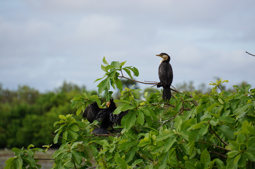
On the way out of the park towards Darwin are the expansive wetlands of the East Alligator River supporting a huge population of birdlife including a large proportion of the worlds migratory Magpie Geese. During the wet, the wetlands expand tenfold as the river breaks its banks and engulf the massive floodplains. If we were ever to come back to Kakadu, it would be definitely during the wet to experience the awesome amount of water the monsoons bring to the north of Australia.


Now, off to Lichfield National Park.
M