Atherton to Cooktown via the Tip
4 – 14 October
4/10/16 Entroopy Log Day 152
Atherton to Mt Molloy, 103 kms
All good expeditions begin with a (re)supply mission, and so it was for our trip up the Cape York Peninsula. Stops at Super Cheap Auto, Atherton Gas, the supermarket, service station and the obligatory Visitor Centre (with town water tap) and we are ready to roll.
We also checked out the ‘Curtain Fig’ the most famous tree in the Atherton Tablelands on our way – very neat to see the wall of hanging roots. Overnight with backpackers (and other cheap grey nomads) at a council roadside campsite.
Overcast.
Camp at Rifle Creek by Mt Molloy. Chicken Stir-fry for dinner.
5/10/16 Entroopy Log Day 153
Mt Molloy to Coen, 458 kms
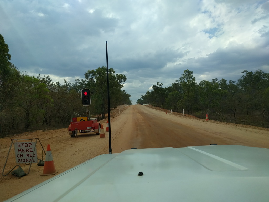
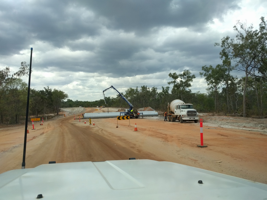
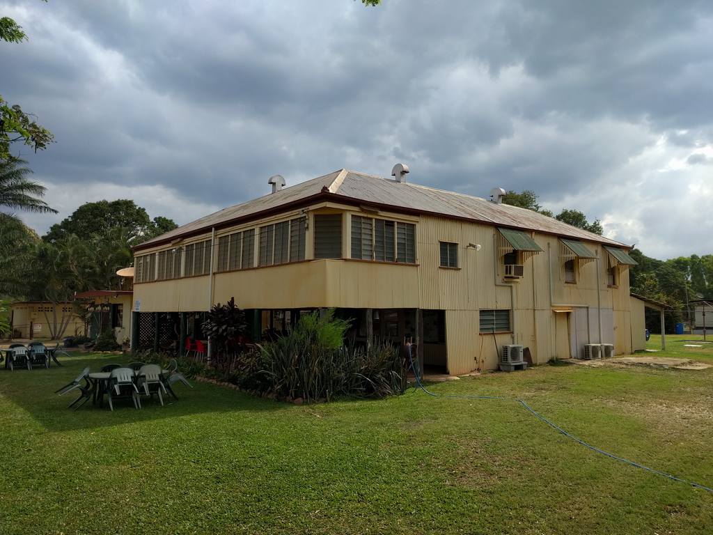
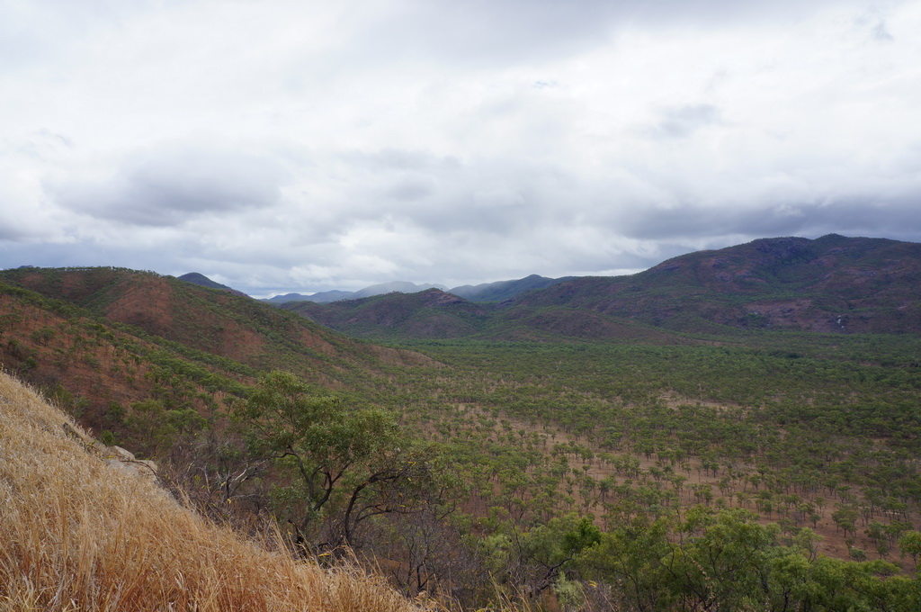
And so we begin our journey up Cape York proper, a steep climb up the dividing range gave good views back over the surrounding hills. It was a sealed road to Laura where we had our lunch stop then onto the gravel Peninsula Development Road. Or so we thought. There were signs up stating that they are working on sealing the road from Laura to Weipa, already there were a number of sealed sections and numerous roadworks getting new sections ready. Stopped to check out the old Musgrave Telegraph Office, unfortunately it doesn’t have the corner gun turrets still in place, then it was up the road to Coen for the night.
Overcast with patches of drizzle, drove north through to sunshine. Windy.
Camp at North Bend river campsite just outside of Coen. Burgers for dinner.
6/10/16 Entroopy Log Day 154
Coen to Sailor Creek, 371 kms
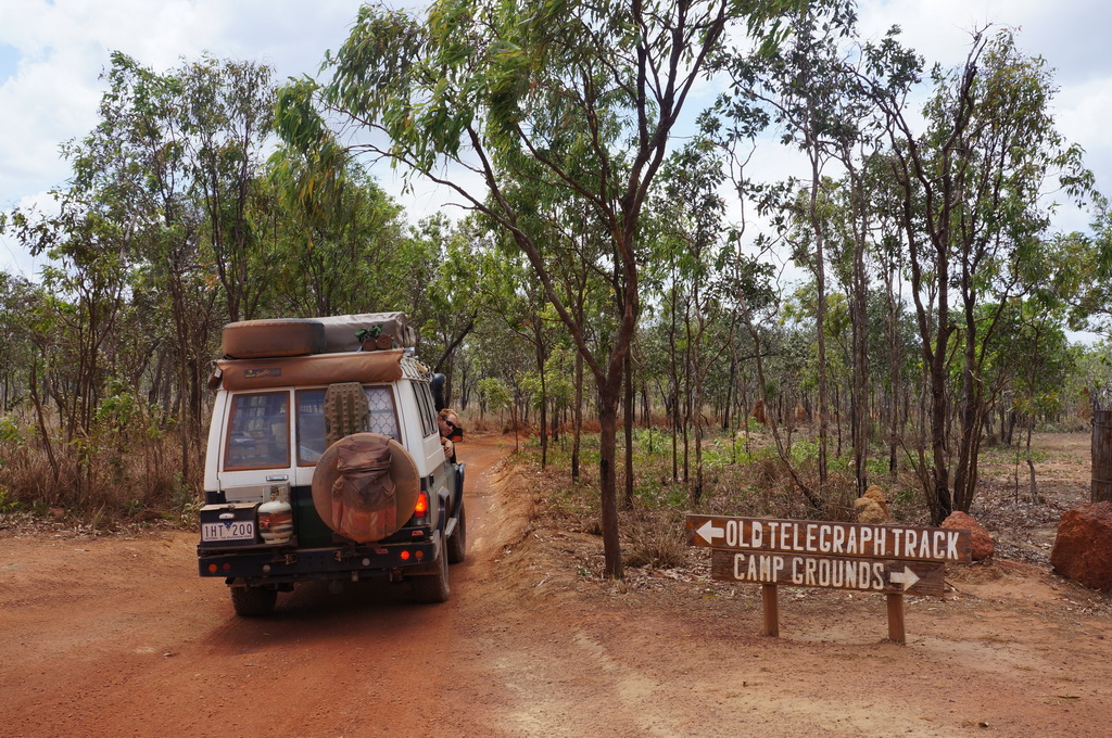
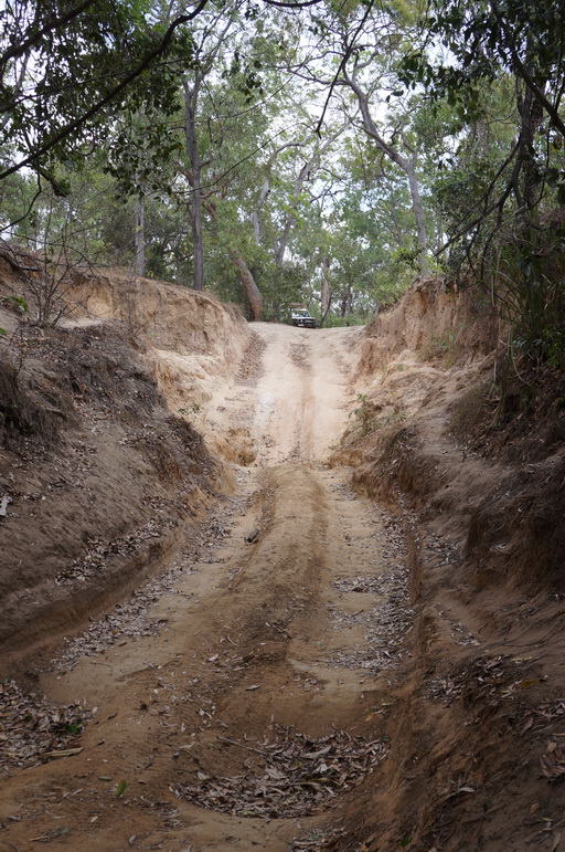
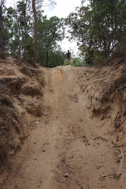
Our progress north continues, up the development road to the turnoff to Weipa and then along the main road following the original telegraph route. Stopped in at the Moreton Telegraph Station / camp ground to check out their collection of old photos and chatted with a really helpful girl on the conditions of roads / water crossings. We decided to go and have a look at the first water crossing on the infamous 4wd Old Telegraph Line only 4kms from the turn-off. There was no water in Palm Creek so we went for a walk and whilst we may have made it down ok, we’d be winching ourselves up the other side. OK, so I think we’re good sticking to the main road…
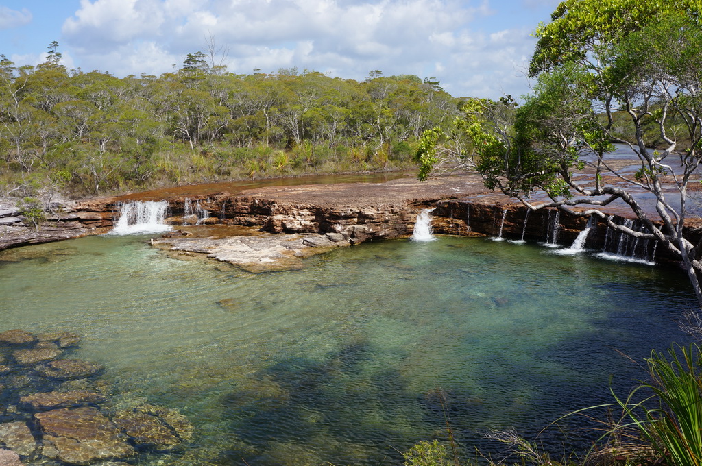
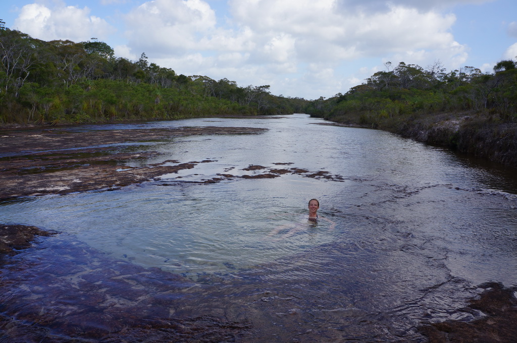
We enjoyed a cleansing swim at Fruit Bat Falls, and were lucky enough to be the only ones there as we indulged in a shower, shoulder massage and lounged in natural spa pools above the falls. We backtracked slightly to set up camp by Sailor Creek and Marcel got a roaring fire going. Nice.
Woke to drizzly showers, overcast and then increasing sunny spells at the end of the day. Steady wind again – read that the Cape York Peninsula experiences steady South-East trade winds during the dry season, so better get used to this.
Camp by Sailor Creek at the end of the Southern section of the Old Telegraph Line. Beef Stroganoff and red wine for dinner.
7/10/16 Entroopy Log Day 155
Sailor Creek to Somerset Beach (via the ‘Tip’), 176 kms
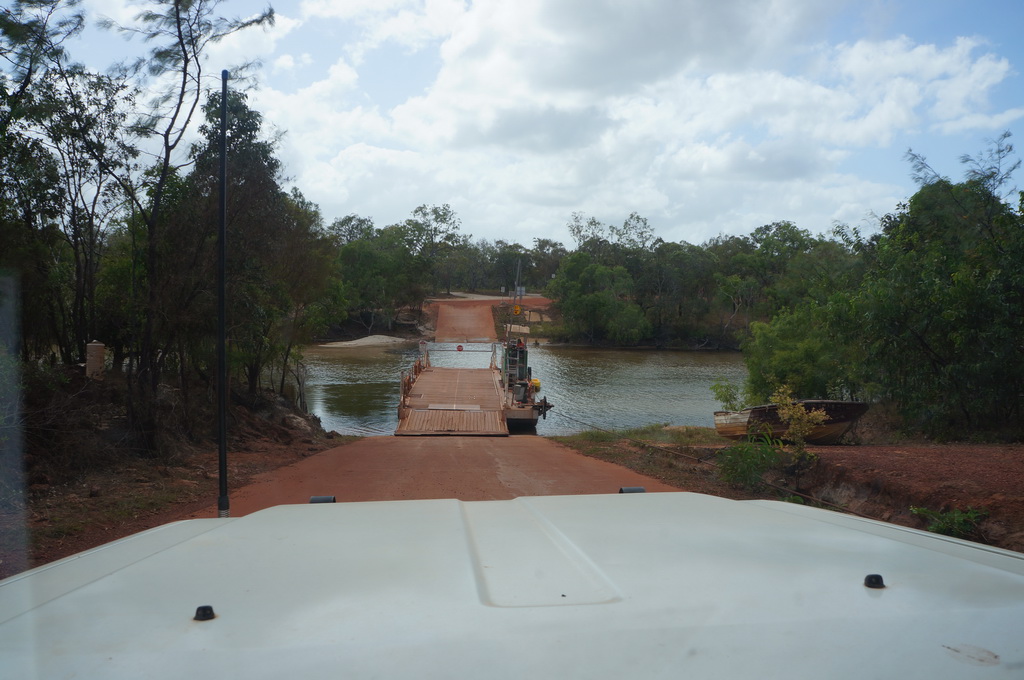
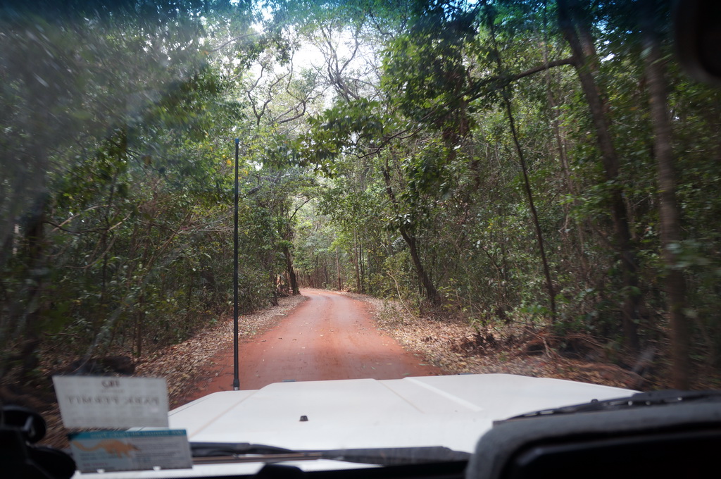
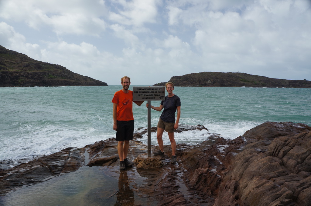
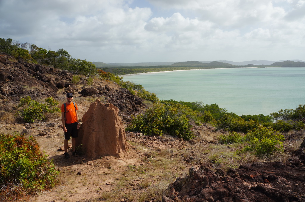
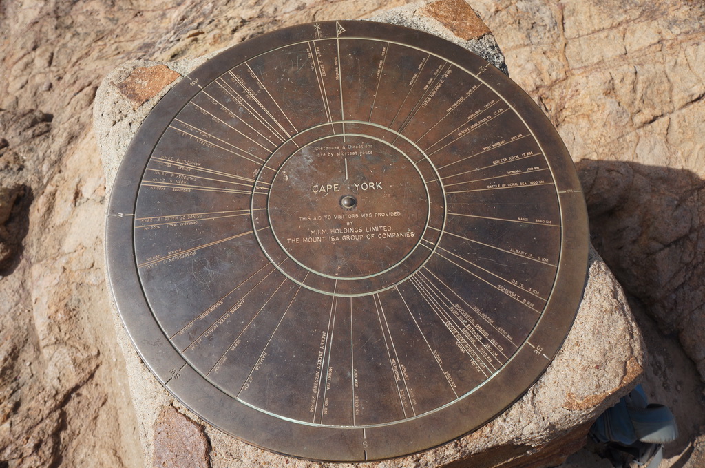
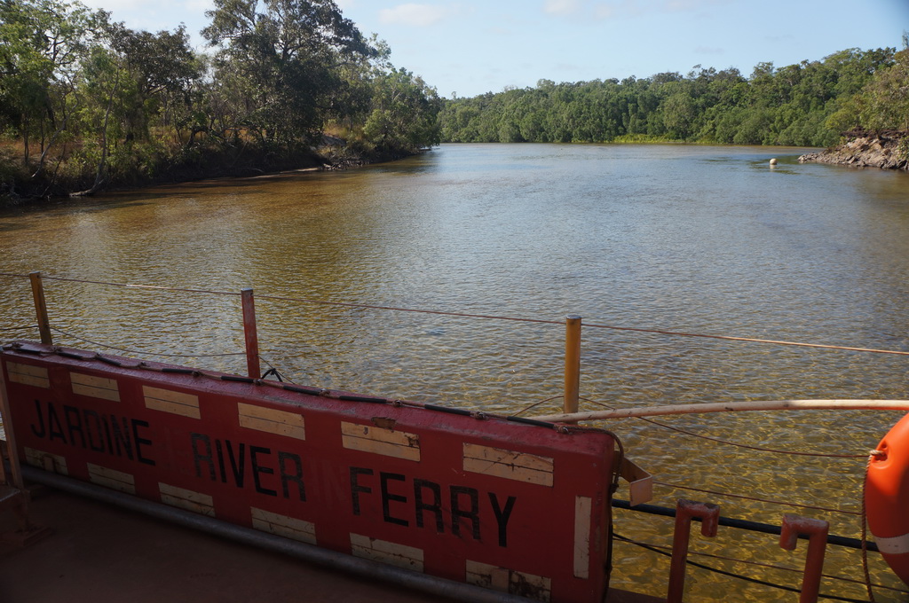
Up to the Jardine River where we needed to catch the punt cable ferry across to reach the upper part of the Cape York Peninsula. We checked out the local Torres Strait Islander and Aboriginal Communities before heading north … right up to the Tip. To reach the northern most point of mainland Australia you need to walk some 700m over a rocky headland where you find a sign announcing the Tip perched on the edge of the rocks. When we were there the swell was up and waves were breaking across the rocks just below the sign – wouldn’t want it any windier otherwise we’d have got rather wet. Yah, we made it all the way up here – the long way round from Melbourne too. Felt like we’ve really achieved something and reached one of our goals of the trip, amazing what a sign will do… Down to Somerset Beach to settle in for a windy night. Would be a lovely beach to sit on if we weren’t being sandblasted.
Windy! Good thing because at night without a breeze it would be getting very sticky.
Camped at Somerset Beach. Left over Stroganoff followed by Peach Crumble.

8/10/16 Entroopy Log Day 156
Somerset Beach to Roonga Point, 40 kms
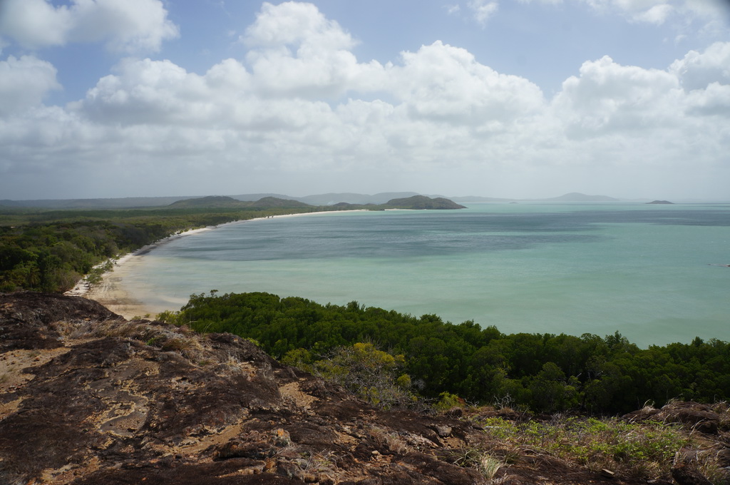
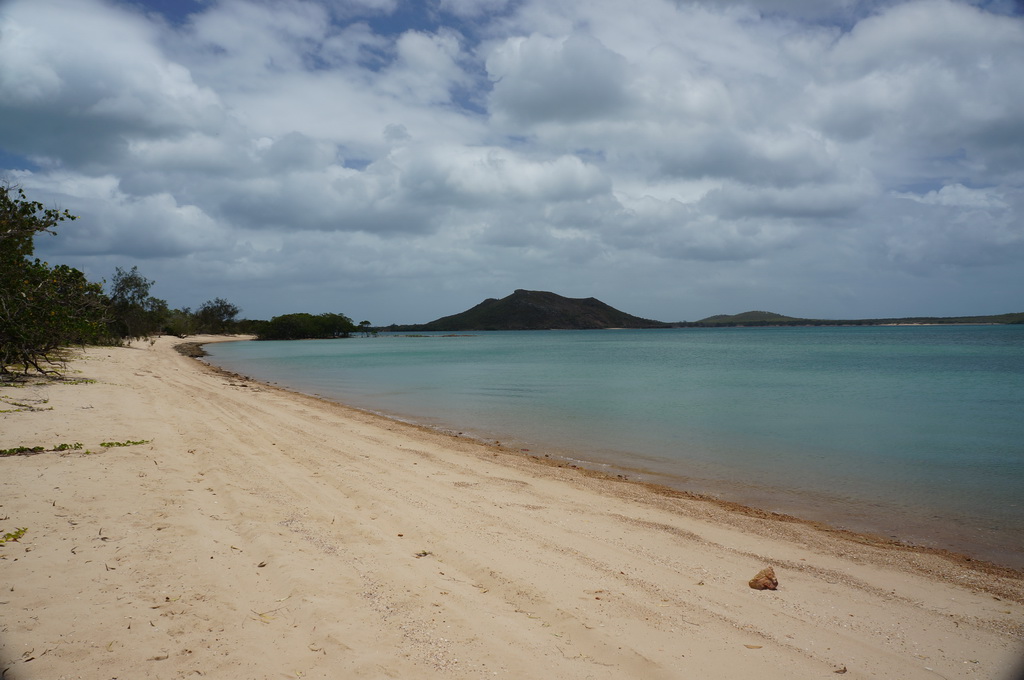
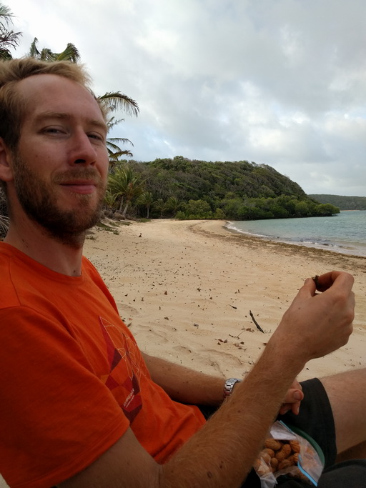
After a super-sized feed of bacon and eggs we went up and checked out Fly Point again on the East Coast – still windy. We then took a tour of some of the bays along the northern edge of the cape – Punsand Bay, Cable Bay and then to Roonga Point. Beautiful white beaches, islands just offshore and turquoise water, pity there is no swimming being well and truly croc territory. We set up along the beach at Roonga. Too hot for much else I settled down for some reading whilst Marcel decided to take another leaf of our new front suspension to get the car sitting a bit better. We retired early to get out of the wind.
Camped by the beach at Roonga Point. Chorizo gnocchi and the second serve of peach crumble.
9/10/16 Entroopy Log Day 157
Roonga Point to Seisia, 59 kms
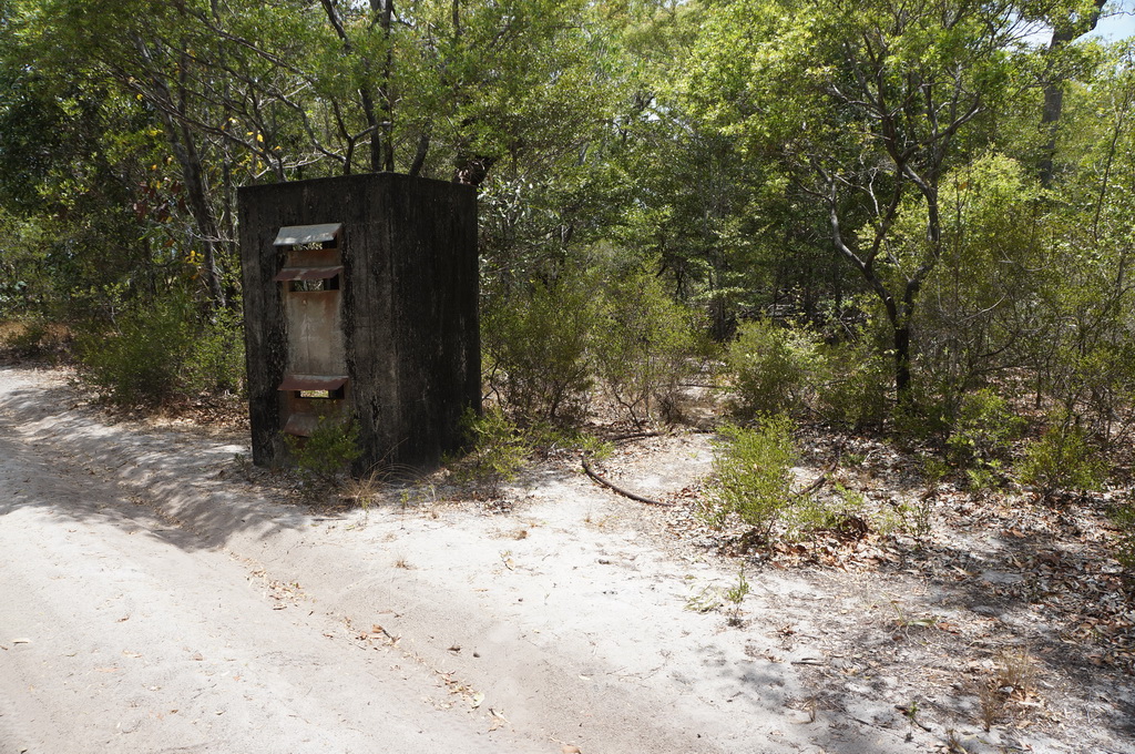
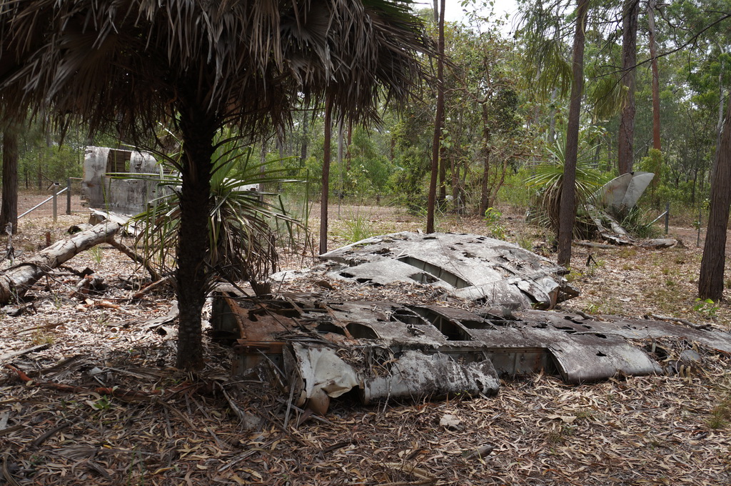
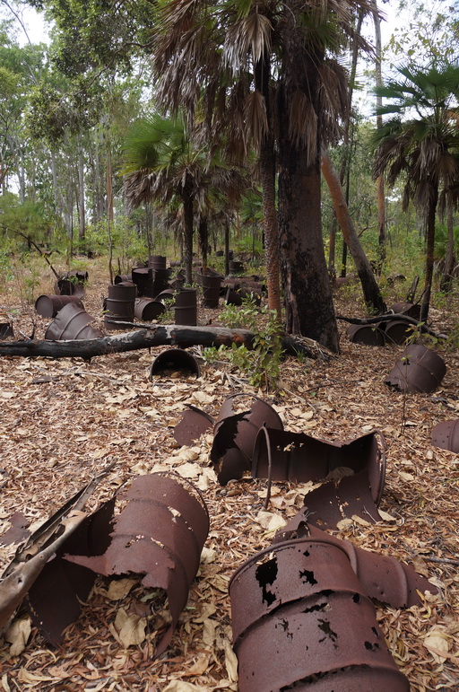
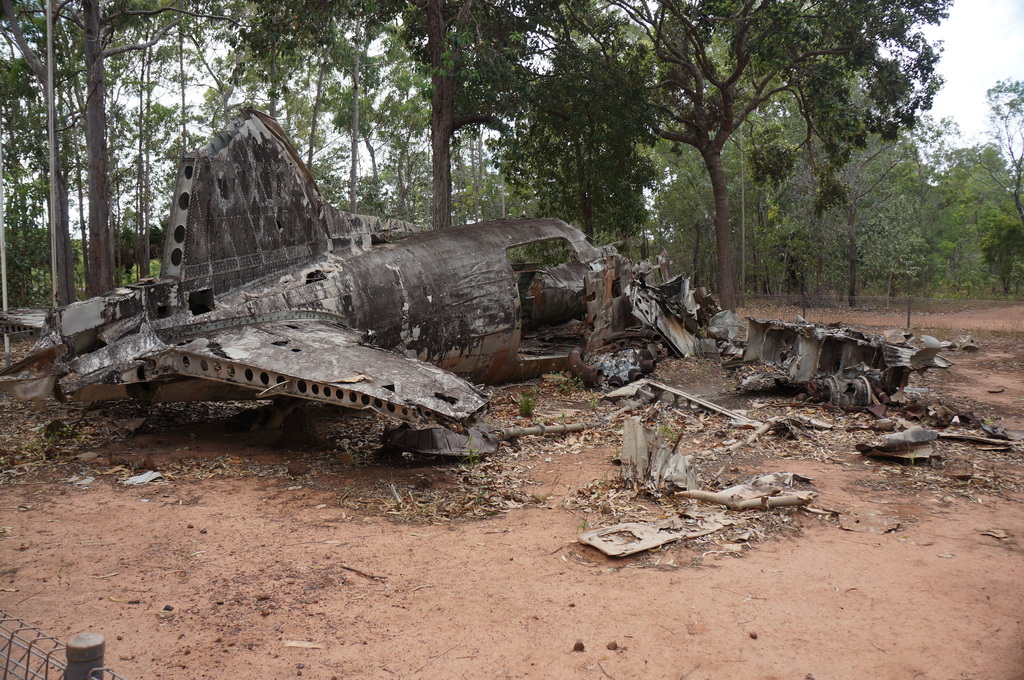
After a slow start we went and checked out a couple of WWII plane wrecks – one a DC3 that crashed, and the other a Beaufort Bomber. The juxtaposition of the aluminium frames twisted and bent and the tropical jungle around them was quite striking. We then headed into Seisia to set up at the caravan park with the plan for a relaxing afternoon. I managed to find some shade under the trees by the beach to read, but unfortunately the afternoon wasn’t as relaxing for Marcel as he chased a clunking sound in the suspension to no avail.
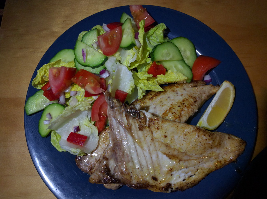
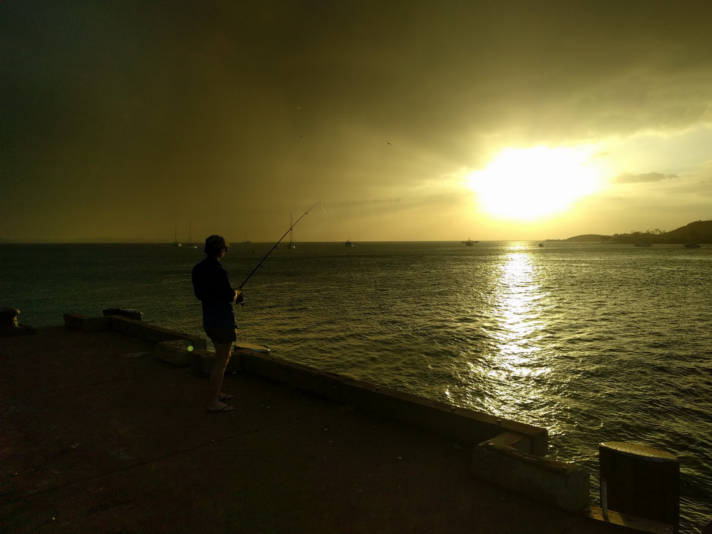
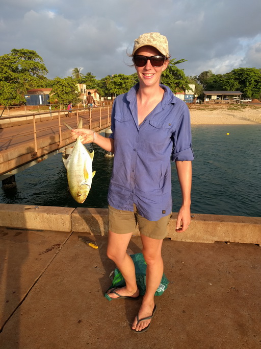
Late afternoon we decided to try our luck and throw our lines in at the Seisia wharf. It was a popular place with the locals, who with large hooks and live sardines as bait knew what they were on about. Us on the other hand had tiny little hooks and frozen fish cubes as none of the bait shops were open on a Sunday. Oh well we’ll try our luck. And then surprisingly I got a good bite, after reeling it in we had a good size Golden Trevally, apparently one of the better eating fish. Great evening of fishing watching the sun go down – a big pinky orange ball dipping below the horizon, and a yummy dinner to top it off 🙂
Night at the Seisia Holiday Park – looking forward to a shower! Freshly caught Golden Trevally for dinner.
10/10/16 Entroopy Log Day 158
Seisia to Jardine River via Horn and Thursday Islands, 138 kms
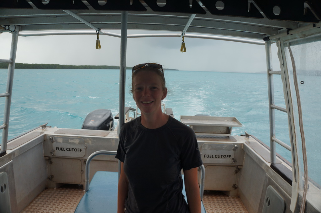
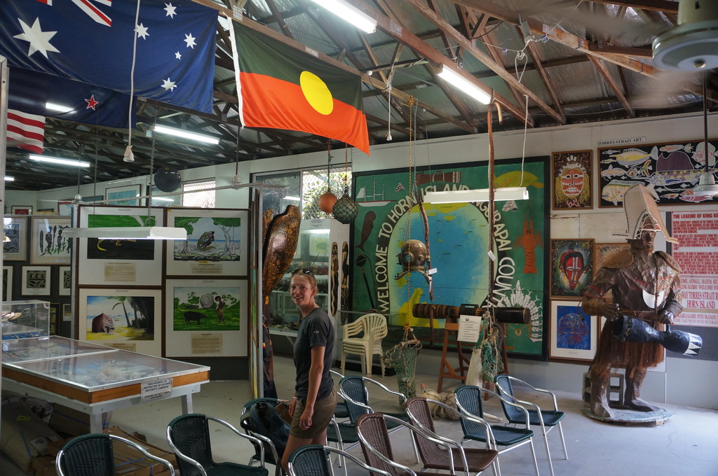
Having come all the way up north we wanted to get out on Torres Strait and visit a couple of the Islands close to the mainland. With peak tourist season over we opted for a smaller charter boat that visited both Horn and Thursday Islands. First stop was Horn Island which had an airforce base during WWII. A local lady had collected the history of the base and Torres Strait culture in a private museum which was interesting to have a look around.
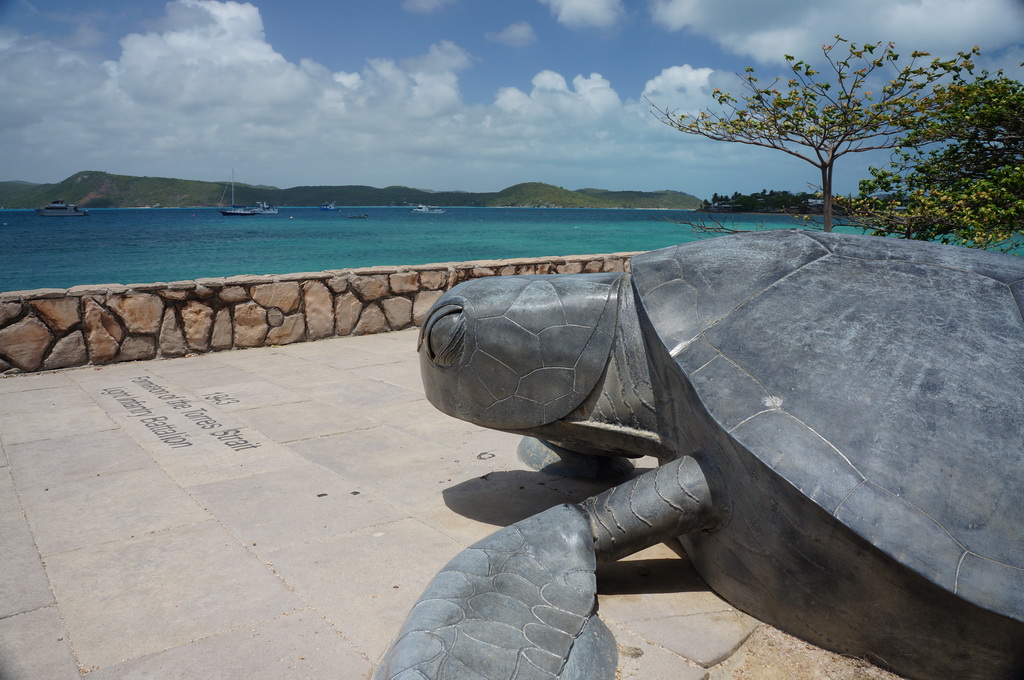
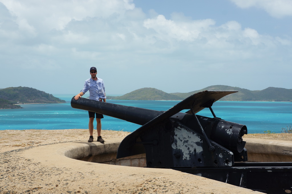
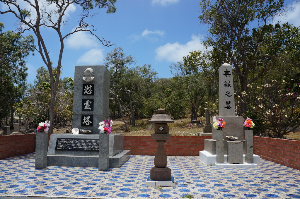
Then it was over to Thursday Island, the administrative base for the Torres Strait and Australia’s northern most town. A taxi tour of the island with a local took us up to Green Hill fort complete with three muzzle loading guns from the 1890s. A pub lunch and wander through town completed our time out on Thursday Island.
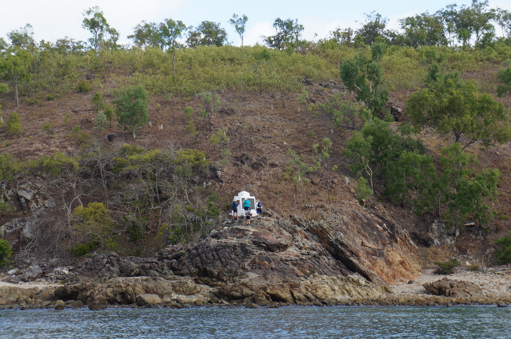
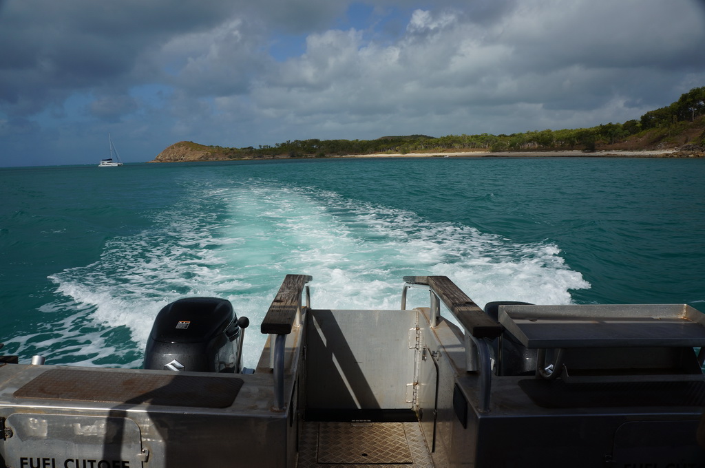
The ride back to the mainland was rather rough with the wind making the water pretty choppy. We stopped off to look at the monument on Possession Island where Captain Cook claimed Australia for the crown. Slightly ironic after sailing up the east coast that he chose a small island off Cape York to claim the place. After washing off the salt spray we headed down to a campsite on the northern bank of the Jardine River.
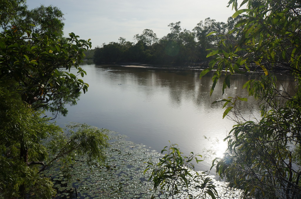
Camp at North Jardine River in the NP. Left over Chorizo gnocchi for dinner.

11/10/16 Entroopy Log Day 159
Jardine River to Iron Ranges, 439 kms
A long day of driving, just under 7 hrs. The fuse for the air conditioner blew half way through the morning so it was a hot work. Stopped off at the Lockhart River airstrip and read about the WWII air base in the Iron Ranges. Interestingly in the 60s they simulated the effect of a nuclear explosion on dense rainforest with a 50 tonnes of TNT carefully arranged in a sphere set off just above the rainforest canopy.
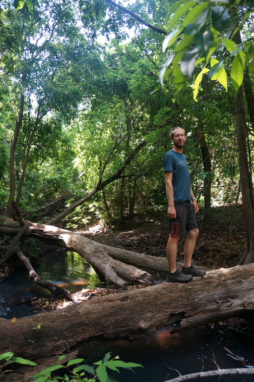
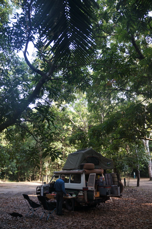
Our campsite is in amongst the rainforest and after dinner we went for a bit of an explore with our torches and found the largest green tree frog we’ve seen – a good 100mm long.
Camp at Cook’s Hut campsite in the NP. Beef fajitas for dinner.
12/10/16 Entroopy Log Day 160
Iron Ranges to Chilli Beach, 42 kms
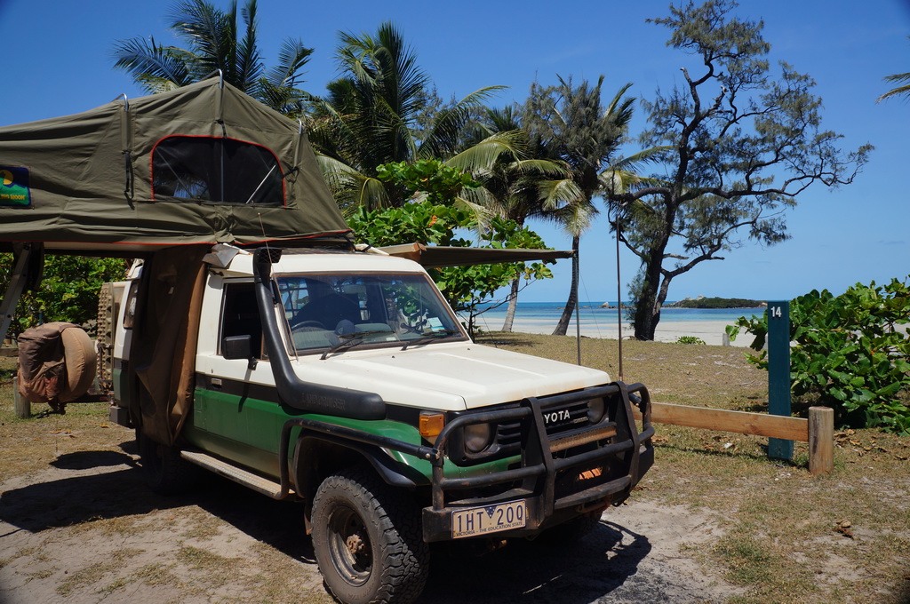
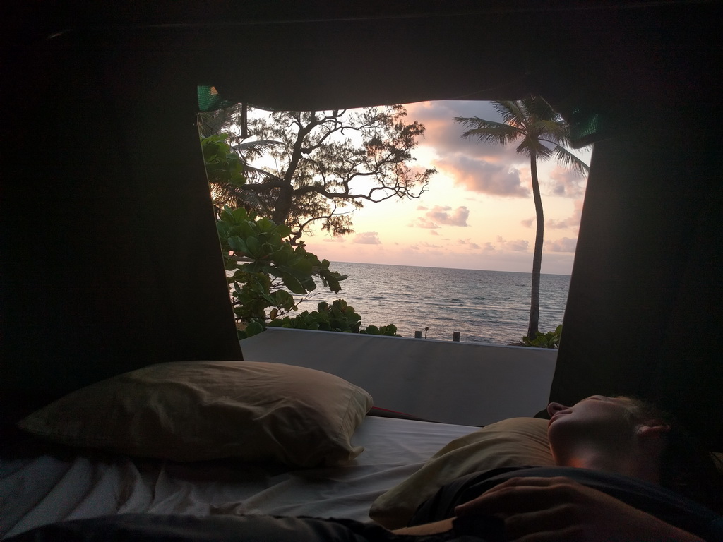
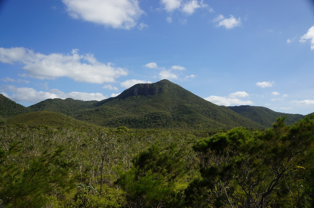
It was nice to wake to the sounds of the birds and looking out of the tent to see trees stretching up around you. We went for a 6km walk along an old road track through the rainforest but didn’t have any luck seeing some of the birdlife found only in this area of Australia. Then it was down to the East Coast at Portland Roads and then onto our campsite at Chilli Beach. Our campsite turned out to be beachfront with coconut trees framing the white sand stretching out at low tide. With a gentle sea breeze cooling us, we’ve found our bit of paradise for the night. We really are so lucky to be travelling to these special places.
Beach front camp at Chilli Beach. Chicken teriyaki with a dessert of brownies and custard.


13/10/16 Entroopy Log Day 161
Chilli Beach to Old Laura, 510 kms
We set the alarm early so that we could roll up the end of the rent and watch the sunrise over the water. Starlings that roosted on a tiny island just offshore swooped over us as we watch the beach light up. We played with the idea of staying another day at Chilli Beach but checking the online bookings a big group had booked out all the beachfront sites. Oh well back to our original plan to hit the road.
We headed south on our long drive. We’d forgotten quite how long the stretch between Coen and Laura was (246 kms) which was pretty slow going with roadworks, and the road rougher and dotted with Bull Dust Holes that you needed to dodge. We pulled into camp as the sun was setting, and it was nice to zone out in front of a fire before hitting the sack early.
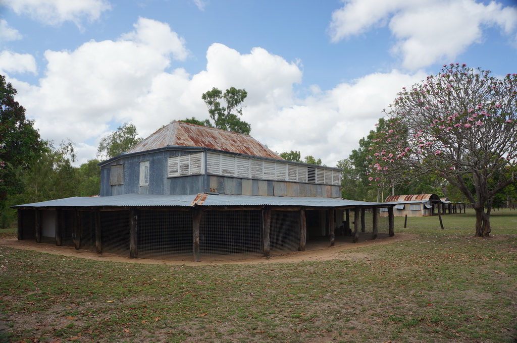
Camp by the Old Laura Homestead. BBQ sausages cooked over the fire with a side of Pasta Alfredo.
14/10/16 Entroopy Log Day 162
Old Laura to Cooktown, 227 kms
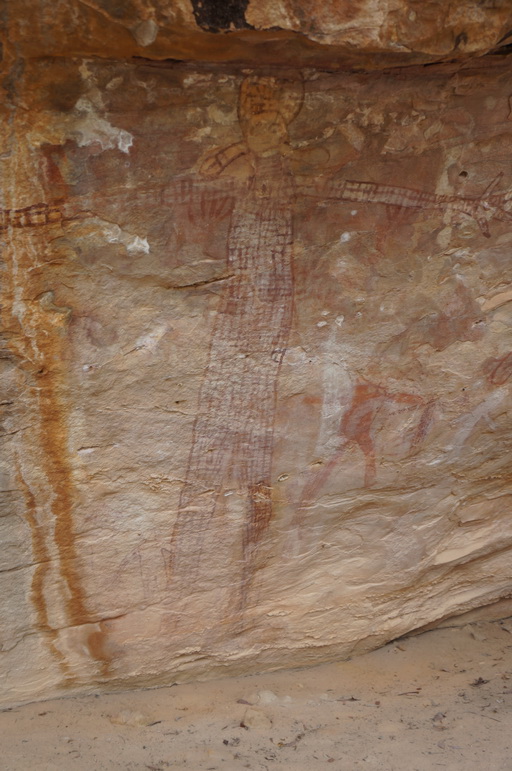
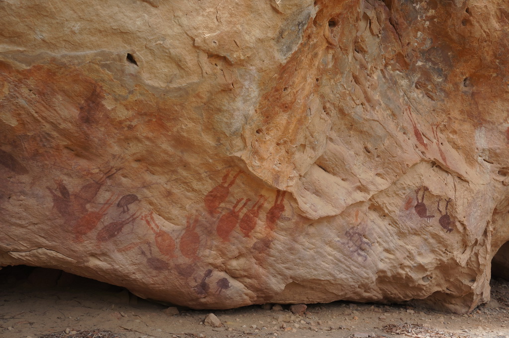
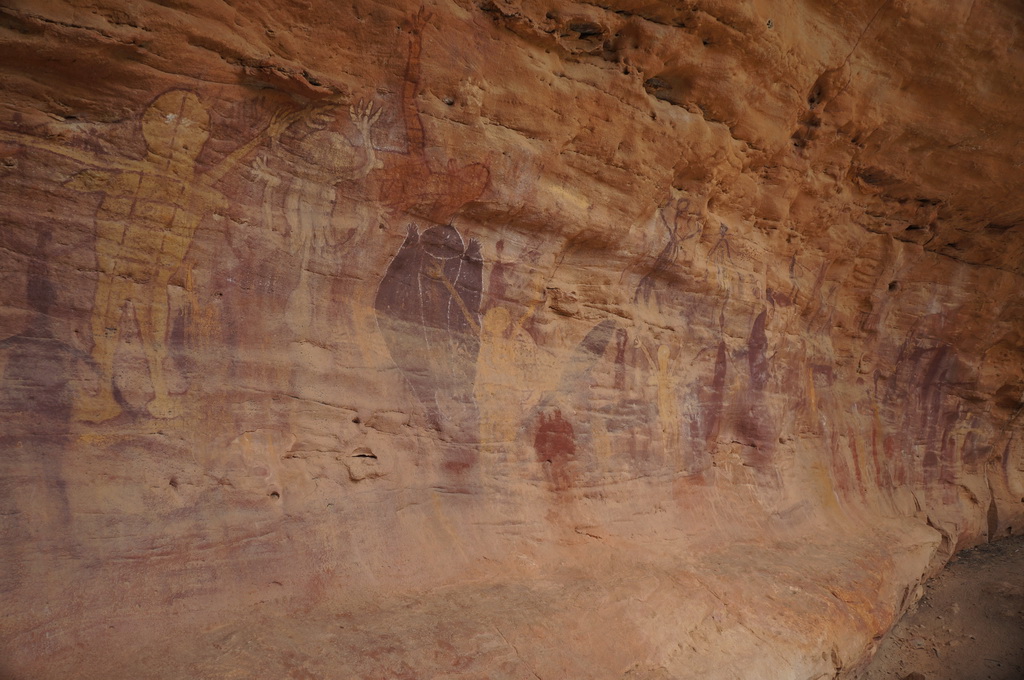
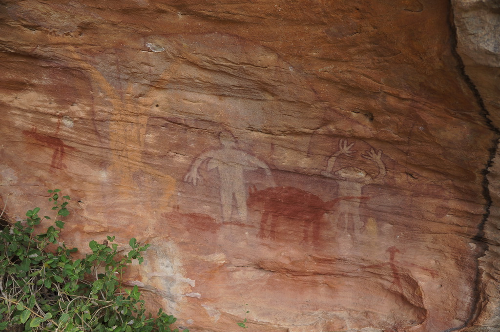
We backtracked into Laura to check out the Quinkan rock art. A self-guided walk at Split Rock took us to three galleries which had images of Quinkan spirits, totem animals and people. Aboriginal occupation of the area has been dated back over 37,000 years with some of the rock art in the area dated as being 15,000 to 30,000 years old. UNESCO rates the region as one of the top ten rock art sites in the world. We only saw a small sample of the art but it really is mind boggling to get your head around how old this area is.
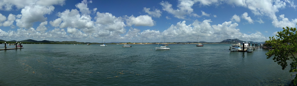
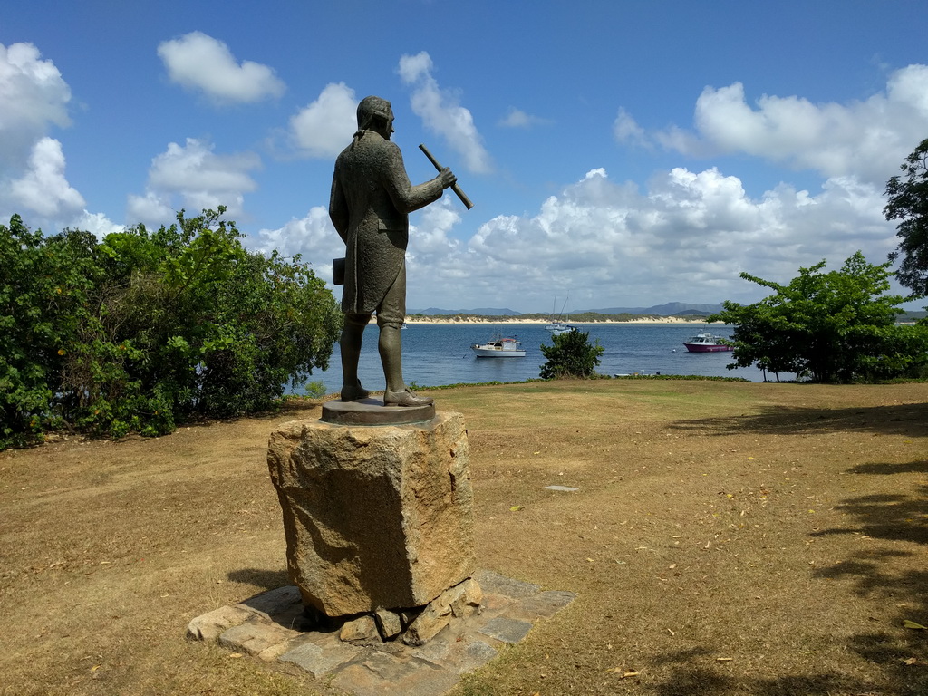
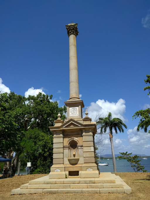
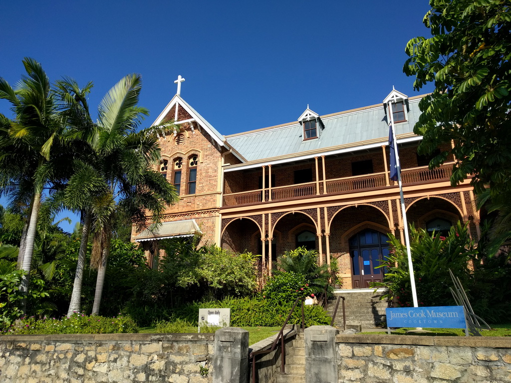
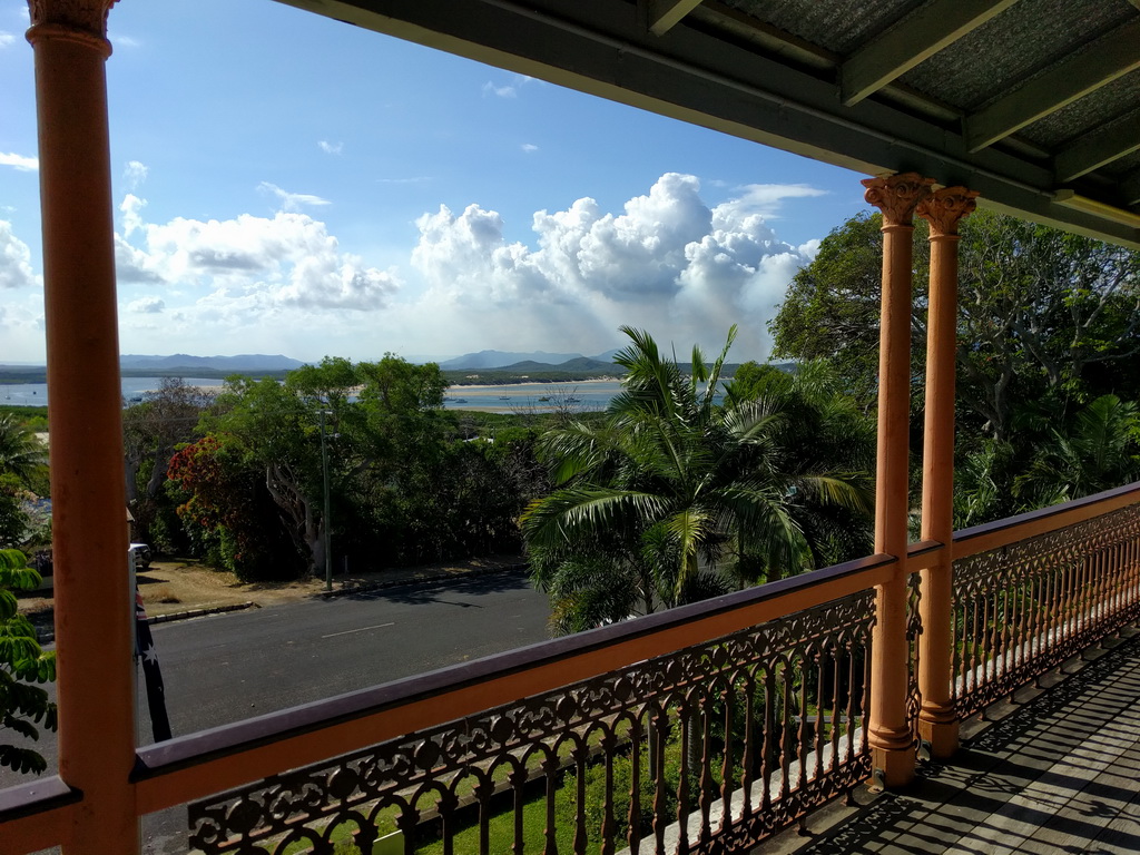
We backtracked up through Old Laura and across Battle Camp Road to Cooktown. When we were up this way three years ago we didn’t get up as far as Cooktown so were looking forward to exploring the historic town. After splurging on a café lunch we headed to the Captain Cook Museum. In 1770 Cook’s ship the Endeavour hit a reef just off Cape Tribulation ripping a hole in the bottom. Looking for a safe river to shelter and repair the boat Cook spent six weeks at what is now Cook town on the Endeavour River.
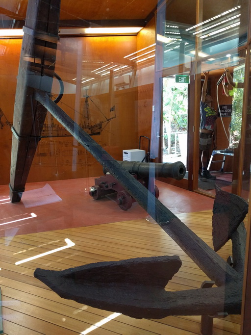
To help float the boat off the reef, Cook jettisoned his ballast, all six cannons and one of the bow anchors. One of the original canons and the anchor is on show in the museum after being found in the early 70s. 1770 is pretty much as old as it gets for European Australian history but nothing when you think of the art we saw this morning. It was a really neat museum and our afternoon quickly disappeared on us. Think we’ll come back tomorrow morning to check out the rest of Cooktown.
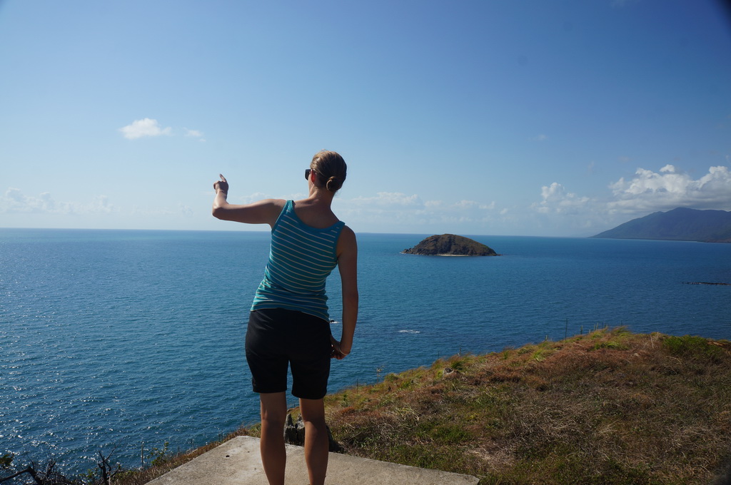
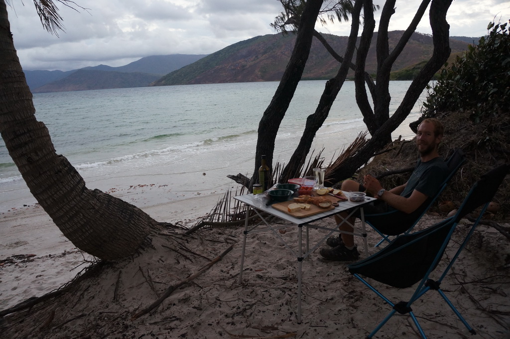
Free camp by the shore at Archer Point (unfortunately with some rather noisy neighbours). Bread, dukkah, cheese, white wine and other nibbles for dinner.
Well we made it up to ‘the Tip’ and back again. When we were planning our trip around Australia Cape York was definitely on the list – a remote, beautiful and wild place, we feel a real accomplishment for completing this leg of our journey.
E